
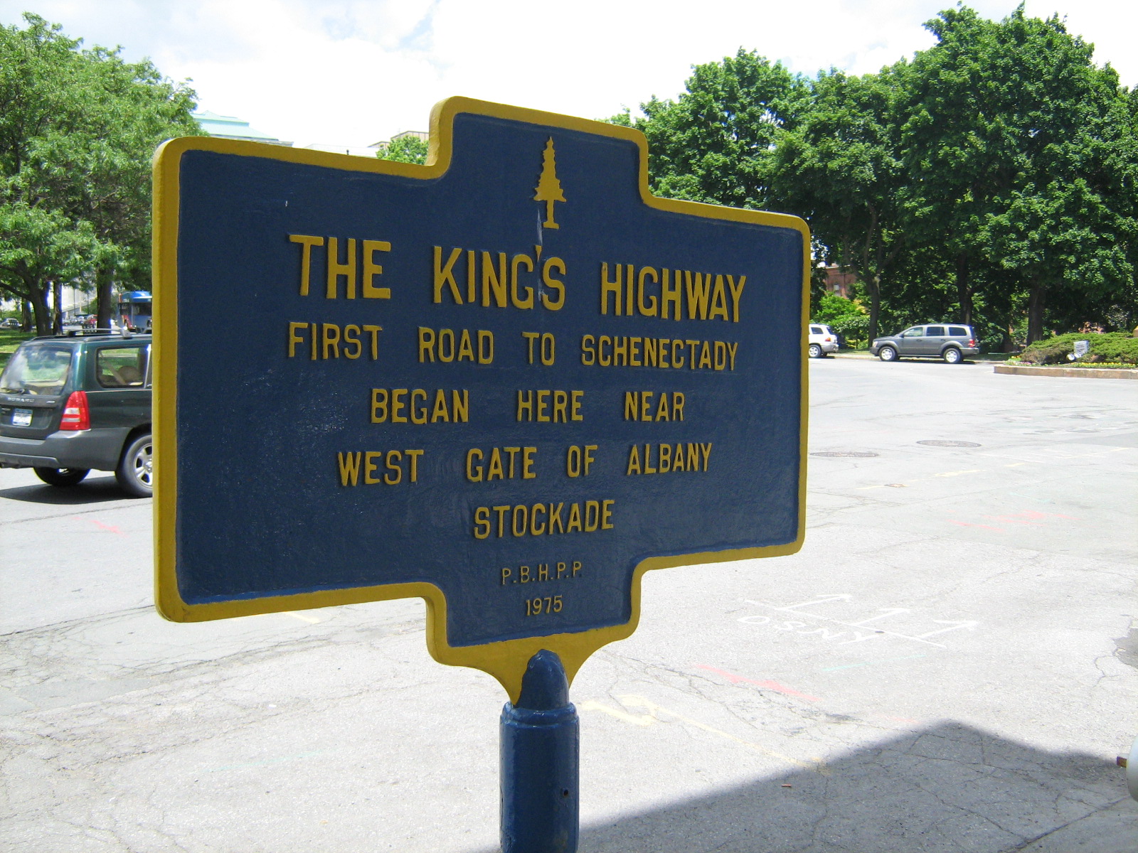
 Sign near City Hall at the corner of Eagle Street and Corning Place.
Originating as a simple woodland trail, the King's Highway was the primary road between Albany and Schenectady via the sandy pine barrens.
It was first used as a trading route by the Native Americans bringing furs and other goods to the Dutch at Beverwyck and, by the 166os, had expanded into a wagon path became the main land route between the Hudson and Mohawk Rivers. It was most likely the route taken by a wounded Symon Schermerhorn on the bitterly cold night in 1690 when he rode to warn Albany of the bloody French and Indian attack now called the Schenectady Massacre.
In the mid-1750s, the King's Highway, which was sparsely populated, was considered a haven for thieves and so dangerous that militiamen would escort travelers along it. During the Revolution, it was said to be a hiding place for Loyalists.
By the late 18th-century, though, a stagecoach line was established to carry passengers for three cents a mile with a one-way trip being about sixteen miles. Small taverns, such as Isaac Truax's Halfway House midway between Albany and Schenectady, provided lodgings and meals for travelers. It was said that murders were committed at Truax's and, indeed, excavations on the site in later years did uncover skeletal remains in the cellars. Excavations at other inn sites along the old King's Highway have revealed less ghastly artifacts such as oyster shells and clay pipe stems.
By the early 1800s, travel on the King's Highway declined with the construction of the Western Turnpike (now Route 20) and the Albany-Schenectady Turnpike (now Route 5) and the road through the Pine Barrens was largely abandoned. Today, parts of it can still be traced as part of the trail system in the Pine Bush Preserve.


The Truax family was well know west of Morris Rd.I believe the father had a Saloon and so did the son on the Highway.Humans remains where found buried in the basement of one of the Saloons must have been a little wild,west.
ReplyDeleteAntalya
ReplyDeleteAntep
Burdur
Sakarya
istanbul
DS7
ankara
ReplyDeletesakarya
tekirdağ
kastamonu
amasya
İX4R
kırıkkale evden eve nakliyat
ReplyDeleteamasya evden eve nakliyat
kayseri evden eve nakliyat
istanbul evden eve nakliyat
sakarya evden eve nakliyat
0P78A2
B3949
ReplyDeleteAğrı Lojistik
Bartın Parça Eşya Taşıma
Giresun Şehir İçi Nakliyat
Ünye Mutfak Dolabı
Isparta Parça Eşya Taşıma
Adıyaman Lojistik
Antep Lojistik
Bingöl Evden Eve Nakliyat
Lbank Güvenilir mi
C5751
ReplyDeleteKwai Takipçi Satın Al
Paribu Borsası Güvenilir mi
Ceek Coin Hangi Borsada
Bitcoin Nasıl Para Kazanılır
Binance Referans Kodu
Trovo Takipçi Hilesi
Threads Takipçi Satın Al
Hamster Coin Hangi Borsada
Likee App Beğeni Hilesi
25CE0
ReplyDeleteBozdoğan
Derecik
Karakoyunlu
Yahşihan
Derince
Merkez
Yenişehir
Şefaatli
Kestel
fgdfgregtryhgrtyh
ReplyDeleteمكافحة حشرات
gtutyjkuyk
ReplyDeleteشركة مكافحة النمل الابيض
D43DBB7DCA
ReplyDeleteyoutube beğeni satın al
DDB69AC19F
ReplyDeleteucuz takipçi
101 Okey Yalla Hediye Kodu
Viking Rise Hediye Kodu
Azar Elmas Kodu
MFF Kupon Kodu
Coin Kazan
Roblox Şarkı Kodları
Dragon City Elmas Kodu
101 Okey Vip Hediye Kodu
D5CD4FC181
ReplyDeletetiktok takipçi ucuz
instagram beğeni satın al
bot takipçi
bot takipçi
düşmeyen takipçi